Somos puntanos, orgullosos de esta hermosa y querida Provincia.
En los paseos de fin de semana registramos imágenes y te relatamos los viajes por el interior de San Luis.
Vos sos nuestro acompañante...
Aún nos falta mucho por recorrer. ¿Disfrutemos Juntos?
Prohibido su reproducción total o parcial (derechos de autor Ley 11723)
Mostrando las entradas con la etiqueta Ríos. Mostrar todas las entradas
martes
domingo
Salto de la Negra Libre - (Departamento Pringles) - San Luis
En el valle de Pancanta a 80 Km de la Ciudad de San Luís y en las cercanías de la localidad minera y turística de La Carolina se encuentra uno de los maravillosos lugares que esconden las serranías puntanas.
Se trata del Salto de la Negra Libre. Una caída de agua de aproximadamente 65 metros en dos caídas sucesivas, que forman un amplio pozo de aguas cristalinas de unos 12 metros de profundidad.
In the Valley of Pancanta 80 km from the City of St. Louis and in the vicinity of the mining and tourist town of La Carolina is one of the wonderful places to hide the hills of San Luis.
Se trata del Salto de la Negra Libre. Una caída de agua de aproximadamente 65 metros en dos caídas sucesivas, que forman un amplio pozo de aguas cristalinas de unos 12 metros de profundidad.
This is the Salto de la Negra Libre. A waterfall of approximately 65 meters in two successive falls, forming a large pot of clear water about 12 meters deep.
El arroyo Pancanta – afluente del Río Grande – es quién contiene este increíble salto al que se puede acceder luego de llegar por la Ruta Provincial Nº 9 hasta las proximidades de la Hostería Las Verbenas, desde donde se organizan excursiones a pié o a caballo con la compañía de baqueanos que brindan un servicio seguro y sin mayores riesgos a quienes quieren conocer este lugar.
The stream Pancanta - a tributary of the Rio Grande - is who has this incredible leap that can beaccessed after reaching the Provincial Highway No. 9 to the vicinity of the lodge the festivals, fromwhere excursions on foot or on horseback with the company of locals who provide a safe and withoutmajor risks to those who want to know this place .
La caminata se hace por un sendero que va trepando las sierras en medio de un paisaje deslumbrante. Luego de una hora y media de cabalgata o casi tres horas a pié aparece una cañada de cuyas paredes se descuelga el agua bastante fría, aún en verano, que es aprovechada por quienes quieran darse un “chapuzón” luego del esfuerzo realizado. A sus márgenes se puede acampar y observar el vuelo de cóndores y otras aves.
The walk is a path that climbs the mountain in the midst of a breathtaking landscape. After an hour and a half of riding or walking nearly three hours to see a canyon whose walls pick up the water pretty cold, even in summer, which is used by those who want to take a "dip" after the effort. In the margins you can camp and watch the flight of condors and other birds.
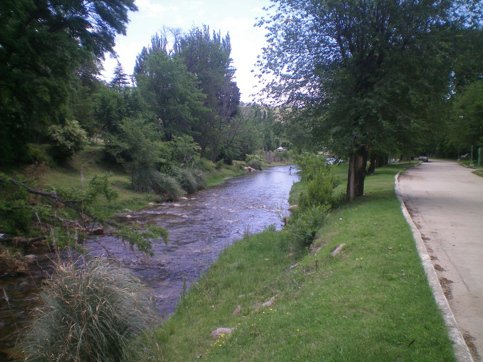
En los remansos que forma este arroyo y otros que confluyen con el Río Grande se pueden pescar las estupendas truchas Arco iris.
Muchos se preguntan el porqué de este nombre. Y como siempre la leyenda aparece para darle un halo de misterioso romance. Se cuenta que una esclava negra escapando de su amo, un criollo de la época de la Colonia, se arrojó al vacío buscando la libertad en otro mundo que no tenía en éste.
In the backwaters formed by this stream and others were merged with the Rio Grande you can catchthe wonderful rainbow trout.
Many wonder why this name. And as always the legend appears to give an aura of mystery romance.It is said that a black slave fleeing from his master, a native of the colonial times, threw herselfseeking freedom in another world that did not take it.
Etiquetas:
Balnearios,
Departamento Pringles,
Ríos,
Salto de la Negra Libre
Camino que une las localidades de La Carolina y San Francisco I


La Provincia de San Luis cuenta desde este año – 2010 – con uno de los caminos serranos más bellos del País, y sin dudas recorre uno de los paisajes más atractivos de todo nuestro territorio provincial. Es el que une las localidades de La Carolina en el Dpto. Pringles con San Francisco del Monte de Oro – Dpto. Ayacucho. Son 35 kilómetros de ruta pavimentada, en parte con asfalto y en parte con hormigón, ya que sus pronunciadas cuestas y cerradas curvas así lo aconsejan.


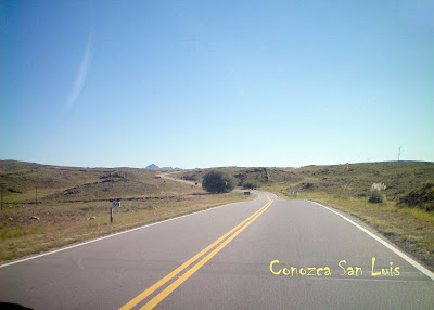
Apenas se sale del pueblo de Carolina comienzan a mostrarse afloraciones rocosas de increíbles formas y colores y de escasa vegetación, ya que se transita por la zona más alta del territorio provincial – a casi 2.000 metros de altura sobre el nivel del mar.Luego de aproximadamente 10 kilómetros nos encontramos con el Cerro El Amago en cuya cumbre se ha instalado una repetidora del canal de Televisión Provincial, por ser un lugar estratégico para dotar de la señal televisiva tanto a Carolina como al Valle de San Francisco y aledaños.

El trazado de este camino y el trabajo que ha costado realizarlo, rodeado de una naturaleza por demás pródiga, hace que nos emocionemos por contar con una obra de tamaña magnitud y un paisaje en el que la mano de Dios ha sido generosa


El trazado de este camino y el trabajo que ha costado realizarlo, rodeado de una naturaleza por demás pródiga, hace que nos emocionemos por contar con una obra de tamaña magnitud y un paisaje en el que la mano de Dios ha sido generosa

+
The province of San Luis has since this year - 2010 - with one of the most beautiful mountain roads in the country, and certainly runs one of the most beautiful of all our province. It is the road linking the towns of La Carolina in the Department Pringles San Francisco del Monte de Oro - Ayacucho Department. There are 35 miles of paved road, partly with asphalt concrete and partly because its steep hills and hairpin turns make it appropriate. Hardly Carolina leaves the village of rocky outcrops begin to show incredible shapes and colors and sparse vegetation, as it passes through the highest part of the county - nearly 2,000 feet above the sea level. After about 10 km we find the Mount Amago on whose summit has installed a repeater channel Provincial Television, being a strategic location to provide the television signal to both Carolina and the San Francisco Valley and beyond. Alongside the descent begins an incredible journey of snails that will take us down after nearly 1,800 meters near San Francisco. It's a somewhat narrow path but absolutely sure, because he was delineated on the old road with all the works of art and elements of security for those traveling through the area. Of course, the drivers of the vehicles have to take every precaution, and ascend or descend - as appropriate - on a mobile in perfect condition. In some parts the road is ledge, and can be seen down the river course. There are many suitable places to stop and take pictures, shoot or simply contemplate the magnificence of the place. Here the vegetation changes abruptly as due to the orientation of the mountain slopes are much more moisture and can appreciate a deep green and colorful flowering plants - at least in summer -. The route of this road and the work that has costs incurred, surrounded by a bountiful nature for others makes us excited to have a work of such magnitude and a landscape in which the hand of God has been bountiful to others. After traveling another 20 miles, which we forded the river several times, we approach the future construction site of the dam over the Rio Claro, a dam that will serve as a reservoir of water for irrigation and human use and as a new attraction resort to this heavenly place which itself already has many corners to be chosen for your next vacation.
Camino de montaña
View more presentations from guest25f8d3.
Camino de montaña
View more presentations from guest344bbe.
Camino de montaña3
View more presentations from guest344bbe.
4ºcamino de montaña
View more presentations from guest344bbe.
(para agrandar la información del tamaño de la pantalla haga click sobre MENU- VIEW FULLSCREEN. Para volver al tamaño original, apretar la tecla ESC de su teclado)
La Carolina - Departamento Pringles - Pcia. de San Luis
La Carolina está situada en el centro - Norte de la Pcia. de San Luis, a 80km de la capital, siendo el poblado más alto de las sierras centrales a 1610 mts. sobre el nivel del mar, puede accederse a ella por ruta Provincial Nº 9 pasando por la Localidad de El Trapiche.
- Hasta llegar a nuestro destino final pudimos disfrutar de la naturaleza dueña absoluta de nuestra atención, a la vera del camino distintas imagenes nos acompañaron en todo su recorrido, aqui te muestro alguna de ellas.
Until arriving at our final destiny we could enjoy the nature absolute owner of our attention, to the side of the way different images accompanied to us in all its route, I show some to you of them here.
Es un encantador pueblo minero recostado al pie del cerro Tomolasta fundado por el Marqués de Sobremonte, quién bautizó a este paraje con el nombre de "La Carolina" en honor a Carlos III de España. Este poblado que vió nacer al filósofo y poeta puntano Juan Crisóstomo Lafinur, dio a conocer en 1785 su potencial como productor de oro. Desde ese momento muchas empresas se dedicaron a la explotación del preciado mineral, que se agotó sesenta años después. Con una fisonomía de casas construídas en piedras bordeando su única calle central, posibilita visitas guiadas que permiten admirar los túneles ventiladores, galerías y piques de sus extinguidas minas de oro. Otras opciones incluyen búsqueda de oro en el río del lugar y actividades de turismo aventura.
It is a charming recostado mining town on the foot of the Tomolasta hill founded by Marquess de Sobremonte, who baptized to this place with the name of “the Carolina” in honor to Carlos III of Spain. This town that to be born to the philosopher and puntano poet Juan Crisóstomo Lafinur, presented in 1785 his potential like gold producer. From that moment many companies were dedicated to the operation of the mineral appraised one, that exhausted sixty years later. With an appearance of houses construídas in stones bordering its only central street, makes possible guided visits quepermiten ademira the tunnels ventilators, galleries and resentments of his extinguished gold mines. Other options include gold search in the river of the place and tourism activities venture.
The 5 of August of 2005, a cultural complex is inaugurated, in tribute to Juan Crisóstomo Lafinur, the estate where it was his home. Templete was constructed this to the effects to preserve part of its house. Exite there a exhibition museum of mineralogy of the zone
Etiquetas:
Caminos de montaña,
Departamento Pringles,
La Carolina,
Minería,
Museo,
Ríos
Suscribirse a:
Entradas (Atom)